


Parcel Proximity
Evaluate parcels with proximity intelligence
Assess parcel value with proximity data
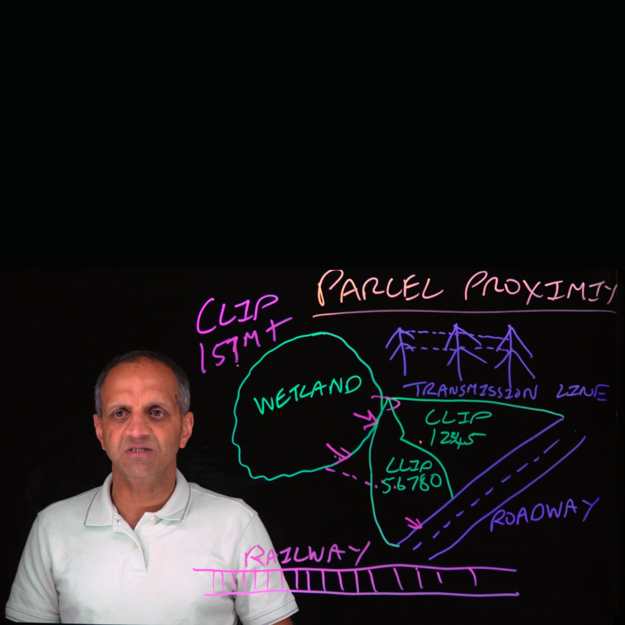
Parcel Proximity is a solution that enriches parcel-level insights by analyzing what surrounds a parcel, not just what’s on it and its boundaries. It delivers parcel proximity indicators and impact analytics for five strategic feature layers across the U.S., including:
- Railway lines
- Major roadways
- Transmission lines
- Wetlands
- Protected lands
Parcel Proximity helps organizations evaluate parcels with greater context by revealing nearby environmental and infrastructure features that may influence parcel value, suitability, or risk. With standardized nationwide analytics, it reduces the need for complex GIS workflows and helps teams assess parcels more efficiently and consistently.
Key product attributes
- Parcel Proximity dataset contains roughly 60 attributes
- Coverage for all parcels in the United States, including DC
- Feature layers include railways, roadways, transmission lines, protected lands, and wetlands
- Location data includes CLIP®, Spatial Parcel Point ID, state, FIPS
- Proximity data includes intersect status, shortest distance, length, area overlap
- AI-ready data (delivered with semantic companion files)
Pricing varies based on volume, geography, and delivery.
FAQ
What is Parcel Proximity?
Which feature layers are included?
What types of proximity attributes are provided?
How does Parcel Proximity help teams work more efficiently?
Where can organizations access Parcel Proximity?
How can we help you?
Let's get this conversation started! Our team is here to provide you with more information and answer any questions you may have.
Trying to reach us by phone?
Get in touch with our sales team at (866) 774-3282. We're here Monday to Friday from 7 a.m. to 5 p.m. CT.
Looking for support?
Visit our dedicated support page to find support for all our products.