


Growth Intelligence
Predict growth with data analytics
Identify high-potential growth regions
Our solution uses CoreAI with ground truth data from municipalities to help identify the timeline and type of new developments. This enables you to analyze markets and individual properties to drive strategic decisions based on the development lifecycle of commercial, residential, and multifamily projects.

Key signals of growth — location intelligence on land and locations
Our CoreAI technology transforms location intelligence by delivering current, not historical, property insights. Daily data updates provide real-time visibility into market movements and development patterns, enabling precise growth forecasting without relying on outdated demographic projections or lagging indicators.

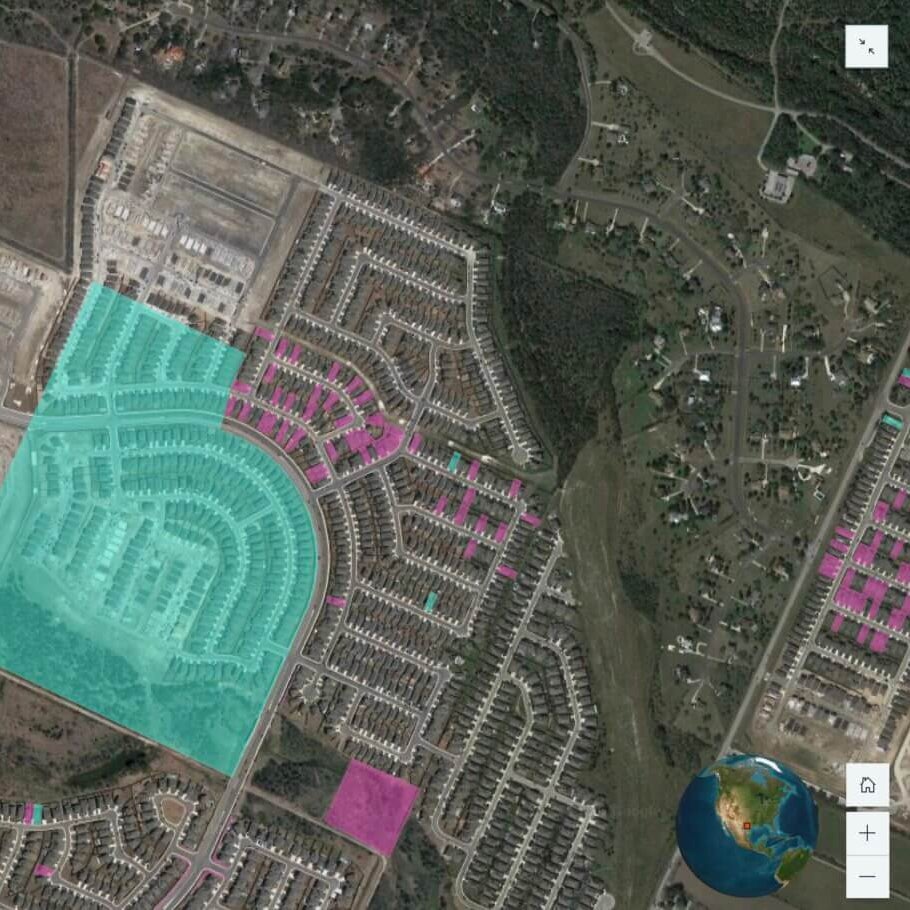
Land acquisition and transition tracking
Monitor property transactions and detect changes in land use designations, from vacant parcels to residential zones, providing early indicators of development activity before visible construction begins.
Subdivision and address creation analysis
Identify when larger parcels are divided into smaller lots and new postal addresses are assigned, signaling imminent development plans and creating opportunities to engage with property owners.
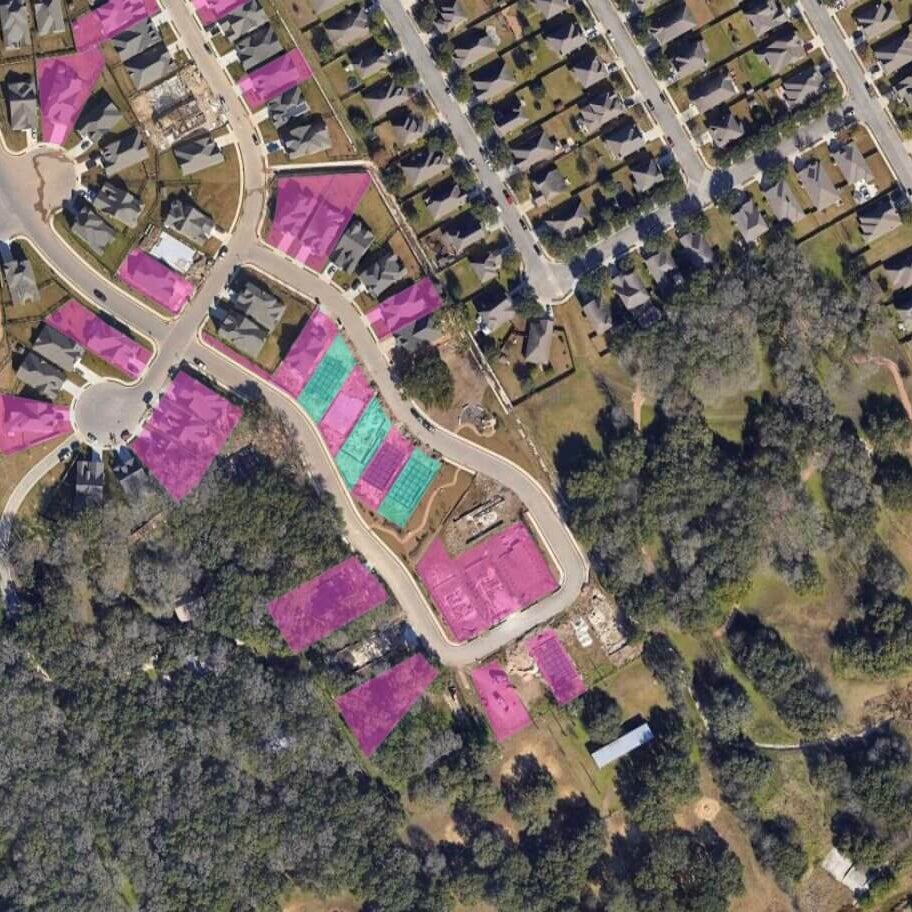
Construction permit intelligence
Track new building permits across regions to pinpoint exactly where development is occurring, the scale of projects, and their timelines, allowing for strategic resource allocation and targeted outreach.
New construction sales insights
Analyze completed construction projects entering the market, revealing pricing trends, absorption rates, and buyer demographics to inform future investment decisions and competitive positioning.
Land acquisition and transition tracking
Monitor property transactions and detect changes in land use designations, from vacant parcels to residential zones, providing early indicators of development activity before visible construction begins.
Subdivision and address creation analysis
Identify when larger parcels are divided into smaller lots and new postal addresses are assigned, signaling imminent development plans and creating opportunities to engage with property owners.
Construction permit intelligence
Track new building permits across regions to pinpoint exactly where development is occurring, the scale of projects, and their timelines, allowing for strategic resource allocation and targeted outreach.
New construction sales insights
Analyze completed construction projects entering the market, revealing pricing trends, absorption rates, and buyer demographics to inform future investment decisions and competitive positioning.
FAQ
What is the primary objective of Location Intelligence Growth?
What do we mean by "Growth"?
What are the benefits of the Growth Intelligence solution?
What data can help find top property and location for investment?

How can we help you?
Let's get this conversation started! Our team is here to provide you with more information and answer any questions you may have.
Trying to reach us by phone?
Get in touch with our sales team at (866) 774-3282. We're here Monday to Friday from 7 a.m. to 5 p.m. CT.
Looking for support?
Visit our dedicated support page to find support for all our products.