


State & Local Government
Serve local communities
State and local government agencies are under pressure to serve communities with fewer resources and greater demands. Shrinking budgets, rising housing instability, aging infrastructure, and shifting policy requirements make it difficult for these agencies to act quickly and effectively. Cotality empowers county assessors, tax collectors, GIS departments, and city planners with the precise, localized property intelligence needed to drive community growth.

Data solutions for state & local agencies
Explore secure data solutions designed to modernize municipal systems, improve infrastructure readiness, and drive community development.




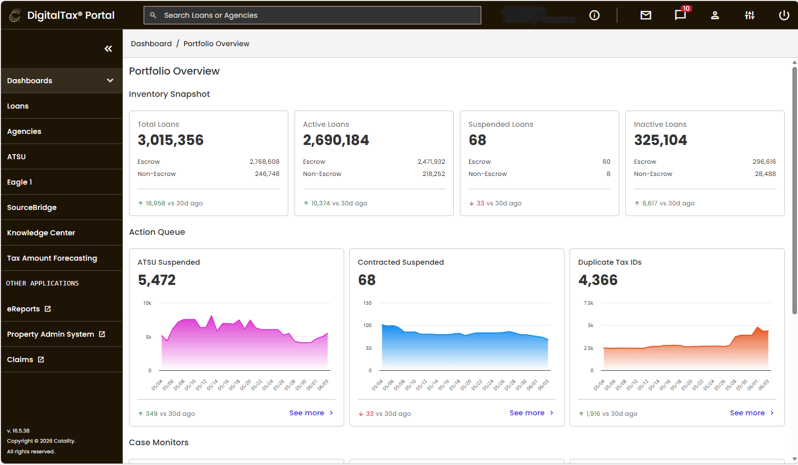
Solving the variable valuation challenge

Property & spatial intelligence for government agencies





Related Resources


How can we help you?
Let's get this conversation started! Our team is here to provide you with more information and answer any questions you may have.
Trying to reach us by phone?
Get in touch with our sales team at (866) 774-3282. We're here Monday to Friday from 7 a.m. to 5 p.m. CT.
Looking for support?
Visit our dedicated support page to find support for all our products.
FAQ