


Manual land-use research is a slow, error-prone drag
Relying on patchwork datasets from hundreds of different counties forces teams to waste weeks verifying basic physical and regulatory realities. This administrative lag makes it nearly impossible to scale network designs or meet urgent modernization deadlines.

The blueprint for smarter infrastructure expansion
Whether you’re deploying broadband fiber, scaling EV charging networks, or modernizing the energy grid, Cotality provides the foundational spatial data to build with certainty. We unify disparate land records, boundary data, and municipal growth signals into a single source of truth. This empowers your engineering and real estate teams to route efficiently, acquire land faster, and future-proof your infrastructure investments against changing market demands.

Accelerate deployment from planning to permitting
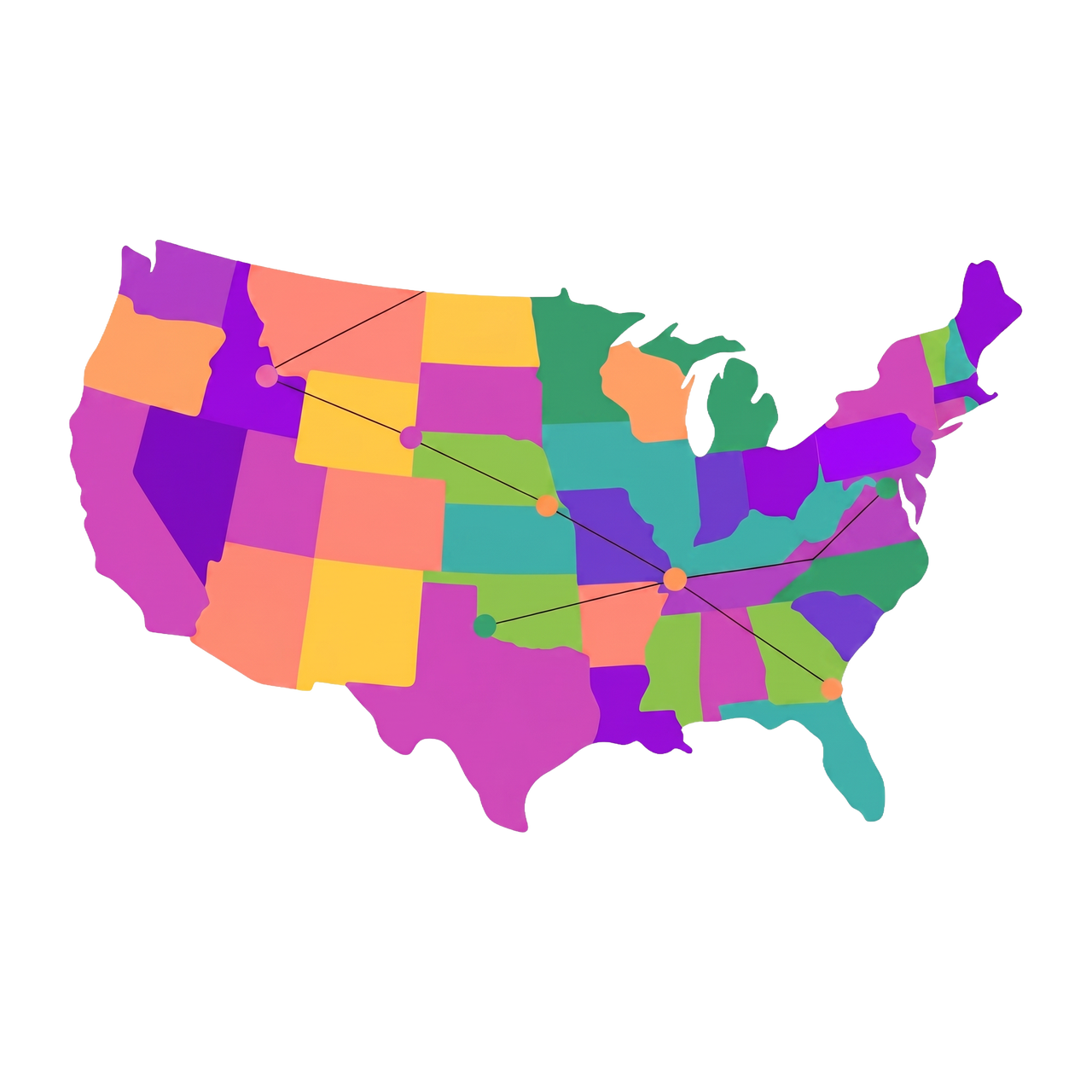
Optimize network routing
Map the most cost-effective and compliant paths for fiber, pipelines, or transmission lines by instantly analyzing terrain, parcel boundaries, and land use restrictions.
Streamline land acquisition
Identify development-ready land for substations or EV charging hubs and instantly unmask true property ownership to accelerate easement negotiations and acquisitions.
Forecast future load & demand
Use predictive permit and zoning data to see where new residential and commercial developments are breaking ground, ensuring you build capacity where it's needed next.
Navigate complex permitting
Reduce regulatory friction by understanding local zoning laws, protected areas, and exact municipal boundaries before submitting your initial project proposals.
Powering spatial infrastructure
Your engineering tools are only as good as the data feeding them. With Cotality’s enterprise-grade data architecture, you can support massive-scale spatial analysis.

A unified national fabric vs. fragmented county records
Infrastructure projects don’t stop at county lines, but public data often does. Thousands of local assessor formats, inconsistent boundaries, and conflicting zoning codes can slow engineering timelines and increase costs. Cotality solves this with a standardized nationwide schema that cleans, connects, and harmonizes spatial data from every jurisdiction. The result is one continuous, highly accurate data fabric that helps teams plan multi-state routes without running into data gaps.
FAQ
How do you handle data inconsistencies across different state and county lines?
Can we use this data to identify locations for specific facilities, like utility substations?
Does your spatial data integrate with standard engineering and GIS software?
How can we help you?
Let's get this conversation started! Our team is here to provide you with more information and answer any questions you may have.
Trying to reach us by phone?
Get in touch with our sales team at (866) 774-3282. We're here Monday to Friday from 7 a.m. to 5 p.m. CT.
Looking for support?
Visit our dedicated support page to find support for all our products.