


Energy & Utilities
Protect vulnerable infrastructure and optimize grid expansion with precise property data and infrastructure insights. Cotality helps energy and utility companies optimize operations, mitigate risk, and identify new growth opportunities.
Powering the future of energy & utilities
Energy and utility leaders are under pressure to modernize aging grids while navigating severe weather threats and complex land-use regulations. Cotality provides the precise parcel boundaries, spatial intelligence, and environmental risk data needed to plan and build resilient infrastructure. By integrating our datasets, energy and utility companies can streamline workflows, protect critical assets, and ensure strict compliance.

Growing energy demand
The explosive growth of AI data centers, EV networks, and manufacturing is forcing rapid, strategic grid expansion.
Tightening regulatory pressures
Regulators are cracking down on safety mandates, requiring providers to maintain precise, detailed, and audited data trails.
Risk-based management
Utilities are moving away from fixed maintenance schedules, using AI-powered models to proactively target high-risk spans.
Data solutions for energy & utility providers
From grid modernization to land planning, Cotality helps energy and utility companies plan smarter, move faster, and grow sustainably.
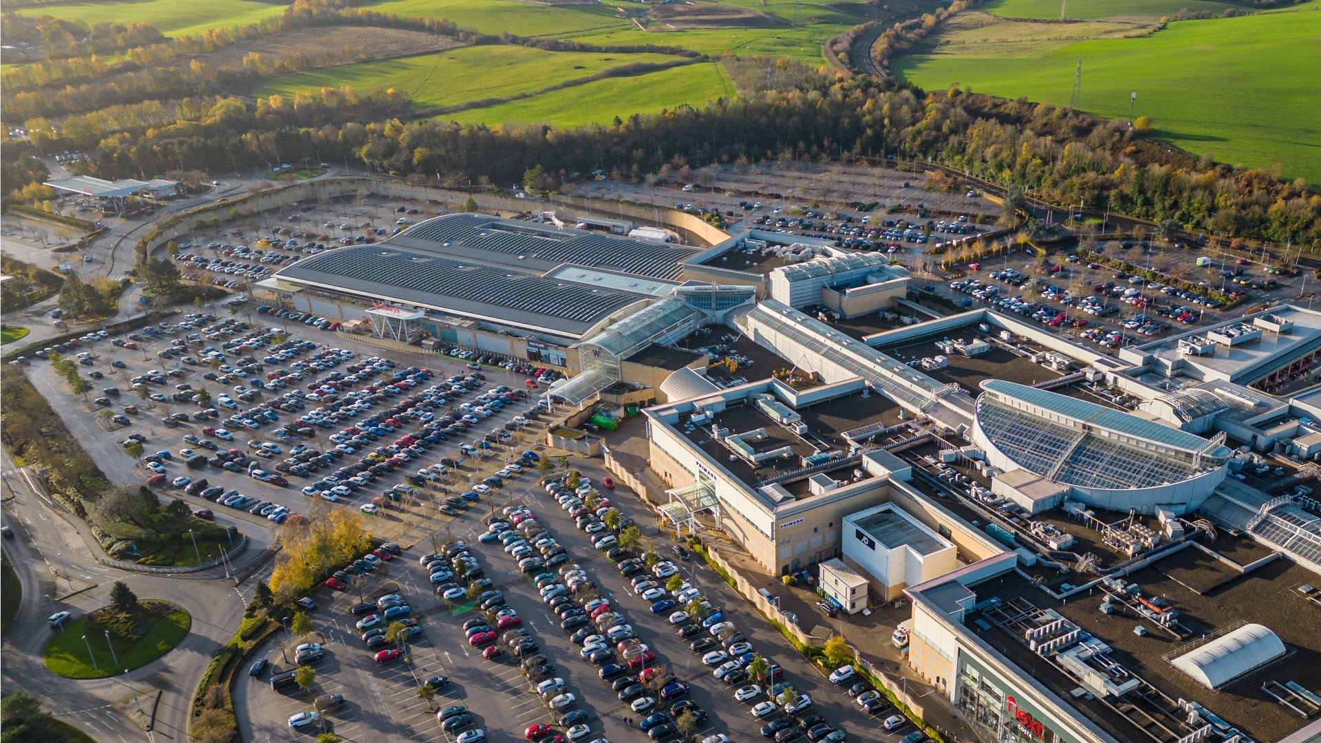




Property insights for energy & utilities
Cotality brings together property, parcel, and growth data to power actionable energy and utilities insights. Our products empower you to optimize site selection and mitigate risks.

FAQ
How does Cotality data support right-of-way land acquisitions?
How do utilities use your climate risk data to harden physical grids?
Can your spatial datasets integrate with our existing GIS platforms?
How does Cotality help with risk-based vegetation management?
Related Resources


How can we help you?
Let's get this conversation started! Our team is here to provide you with more information and answer any questions you may have.
Trying to reach us by phone?
Get in touch with our sales team at (866) 774-3282. We're here Monday to Friday from 7 a.m. to 5 p.m. CT.
Looking for support?
Visit our dedicated support page to find support for all our products.