


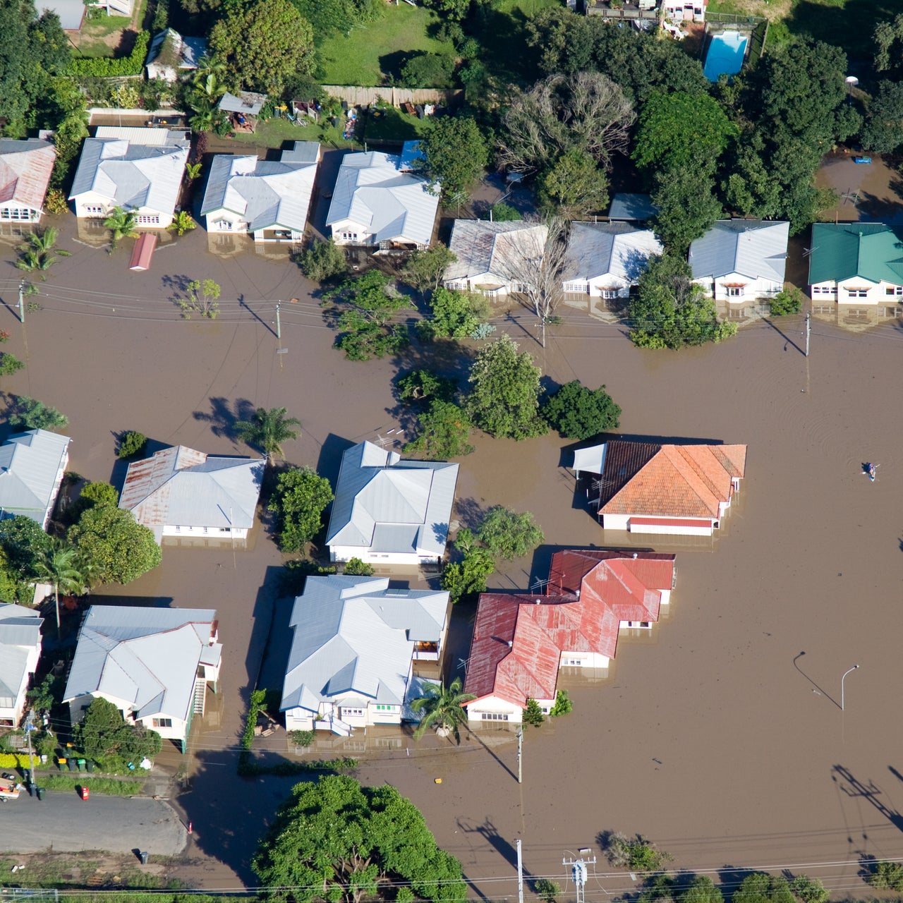
Flood Determinations
Take charge of flood mortgage compliance
Holistic insights for mortgage compliance with Water-tight Guarantees®
We provide accurate flood risk assessments for any property, ensuring compliance with the Flood Disaster Protection Act (FDPA) and related regulations. Utilizing our vast property database, patented methodology, and best-in-class geographic information systems technology, we deliver precise flood zone mapping and information, via our proprietary tools:
Water-tight Guarantees® flood hazard certification warranty on the Standard Flood Hazard Determination Form provides the assurance needed to confidently close loans and meet regulatory requirements.
Next-Day Notifications™ inform mortgage servicers of FEMA map changes impacting flood zones. Mortgage borrowers benefit from knowing that their properties are protected by meeting flood insurance requirements, reducing financial risk.
Smarter flood risk determinations
Ensure accuracy with our Water-tight Guarantees® and instant delivery of official Standard Flood Hazard Determination Forms. We’ve enhanced our platform with Flood Map Intelligence™ to give you foresight into geographic changes before they impact your footprint.
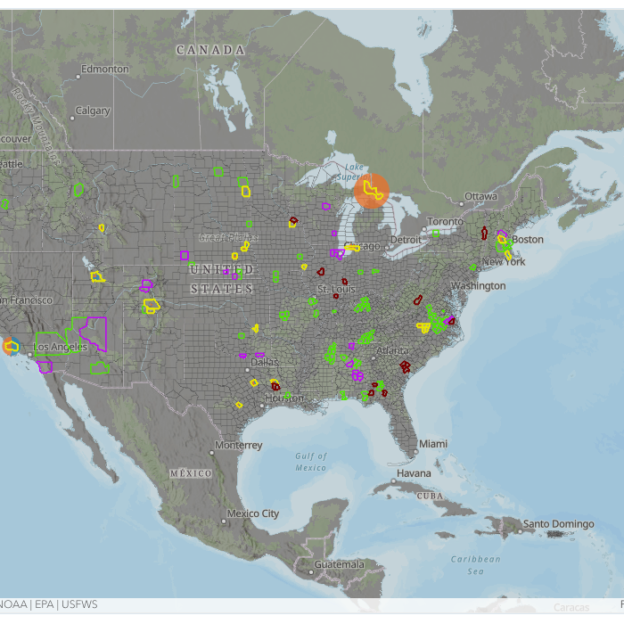
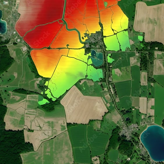
Flood Map Intelligence™
Use our interactive storyboard to visualize FEMA map revisions before they take effect. Stay ahead with a dynamic roadmap of localized activity, giving you the vision needed to identify upcoming impacts to your specific lending footprint.

Flood map change preparedness bundle
While the interactive map tool reveals the shifts, this bundle provides the execution. This combination of data, monitoring, and expert support helps you identify impacted loans early, ensure data accuracy, and reduce friction during major revisions.

Future Flood™ zone tracking
Maintain pipeline accuracy and eliminate surprises at the closing table. Access twice-monthly reporting of properties scheduled for a zone change to ensure your originations are protected against the next wave of FEMA map changes.
GSE compliance and disclosure guidance
Leverage expert consulting on GSE requirements and optional advance borrower disclosures. Our analysts provide the strategic support your escrow and insurance teams need to navigate complex regulatory shifts and resolve borrower disputes.
Flood Map Intelligence™
Use our interactive storyboard to visualize FEMA map revisions before they take effect. Stay ahead with a dynamic roadmap of localized activity, giving you the vision needed to identify upcoming impacts to your specific lending footprint.
Flood map change preparedness bundle
While the interactive map tool reveals the shifts, this bundle provides the execution. This combination of data, monitoring, and expert support helps you identify impacted loans early, ensure data accuracy, and reduce friction during major revisions.
Future Flood™ zone tracking
Maintain pipeline accuracy and eliminate surprises at the closing table. Access twice-monthly reporting of properties scheduled for a zone change to ensure your originations are protected against the next wave of FEMA map changes.
GSE compliance and disclosure guidance
Leverage expert consulting on GSE requirements and optional advance borrower disclosures. Our analysts provide the strategic support your escrow and insurance teams need to navigate complex regulatory shifts and resolve borrower disputes.
FAQ
What is the flood map change preparedness bundle?
What is the Multiple Structure Indicator (MSI)?
What is Cotality's Pre-Flood service?
What is Cotality's Future Flood™?
What is Cotality's Total Flood™?
What are Cotality's Advanced Modeling Techniques?
How can we help you?
Let's get this conversation started! Our team is here to provide you with more information and answer any questions you may have.
Trying to reach us by phone?
Get in touch with our sales team at (866) 774-3282. We're here Monday to Friday from 7 a.m. to 5 p.m. CT.
Looking for support?
Visit our dedicated support page to find support for all our products.