


Parcel Essentials
Nationwide parcel data, built for analysis
Turn parcel data into property intelligence
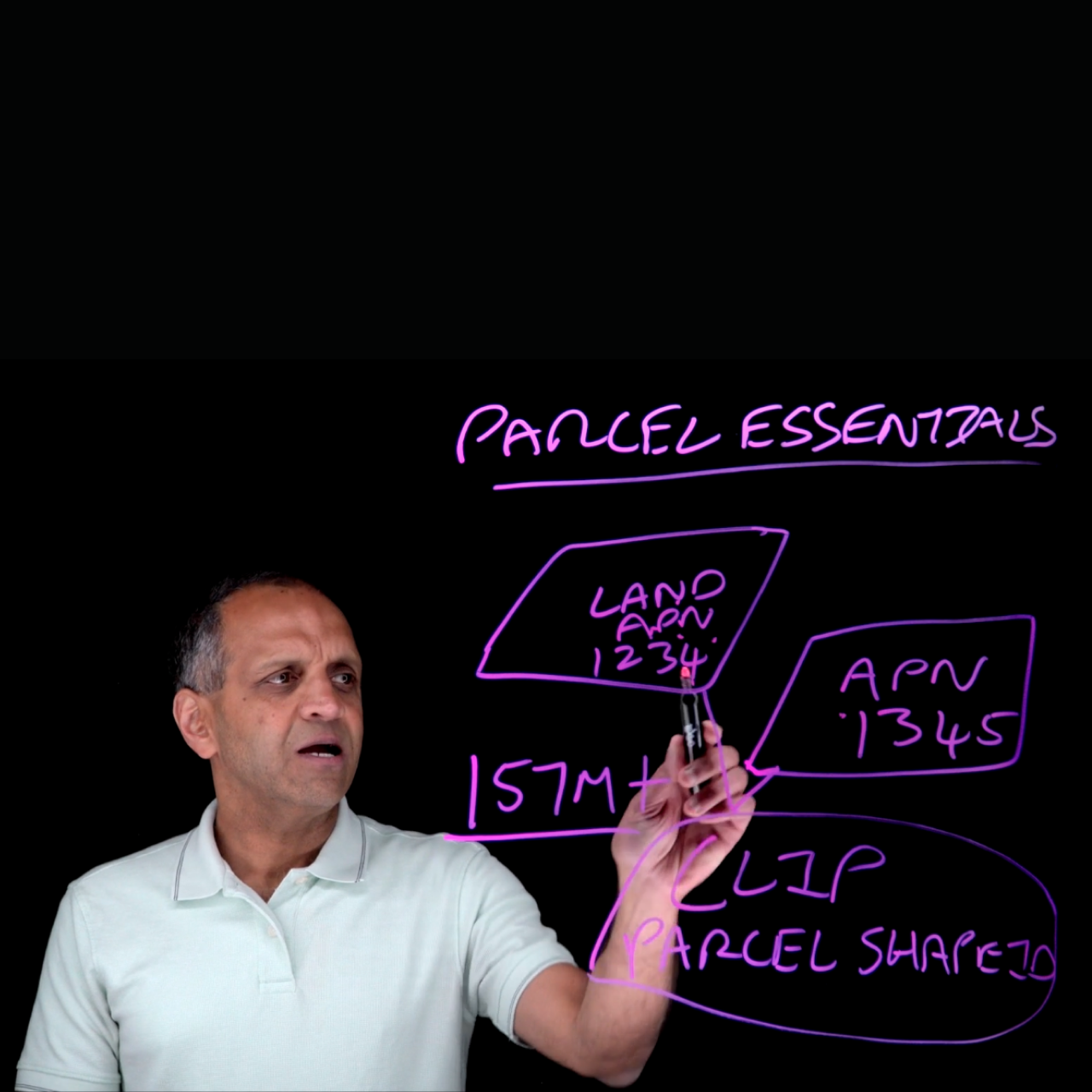
Parcel Essentials is Cotality’s foundational data solution for U.S. land and property intelligence, offering a trusted source for more than 157 million parcel boundaries and 150+ standardized property attributes. With nationwide parcel geometry and persistent identifiers, it supports reliable, scalable analysis as local source data changes.
Parcel Shape ID and CLIP® (Cotality’s Integrated Property) ID connect fragmented assessor records to scalable location analytics, enabling seamless integration and a durable data foundation even when local identifiers change.
Key product attributes
- Authoritative geometry: Exact geospatial footprint, WKT/ GeoJSON and total acreage
- Property & tax context: Standardized ownership context, land-use codes, and assessment values
- Composite Risk Score (1-100): Multi-peril risk context covering wildfire, flood, and hurricane
- Standardized metrics: Universal building square feet, year built, roof cover, and construction type
- Proximity intelligence: Embedded indicators for exact distance to critical infrastructure, roads, and wetlands
- FIPS, Parcel Shape ID, CLIP, latitude, longitude, geometry, GeoHash
- Key insights including parcel address, mailing address, APN number, land use code, calculated total value, address count, primary business use indicator, Composite Risk Score, source record data, and update record date
- AI-ready data (delivered with semantic companion files)
Pricing varies based on volume, geography, and delivery.
FAQ
What is Parcel Essentials?
What data is included in Parcel Essentials?
How does Parcel Essentials support data integration?
What are common use cases for Parcel Essentials?
Where can customers access Parcel Essentials?
How can we help you?
Let's get this conversation started! Our team is here to provide you with more information and answer any questions you may have.
Trying to reach us by phone?
Get in touch with our sales team at (866) 774-3282. We're here Monday to Friday from 7 a.m. to 5 p.m. CT.
Looking for support?
Visit our dedicated support page to find support for all our products.