


Misallocated capital and assets drag down your margins
Deploying heavy equipment, specialized workforces, or physical inventory based on generalized geographic assumptions is incredibly risky. Without precise site-level context, you end up overfunding low-yield areas while starving high-potential markets of the support they need.

The strategic imperative for resource optimization
Improve enterprise resource optimization with Cotality’s property data and location intelligence. By combining precise parcel boundaries, property attributes, and market growth signals, teams can make smarter decisions about capital allocation, workforce planning, and asset deployment, directing resources to the locations with the greatest business impact.
Deploy with confidence and context
Optimize capital deployment
Use property attributes, land use data, and parcel-level insights to prioritize capital investments, evaluate asset viability, and direct resources toward high-growth, high-value locations.
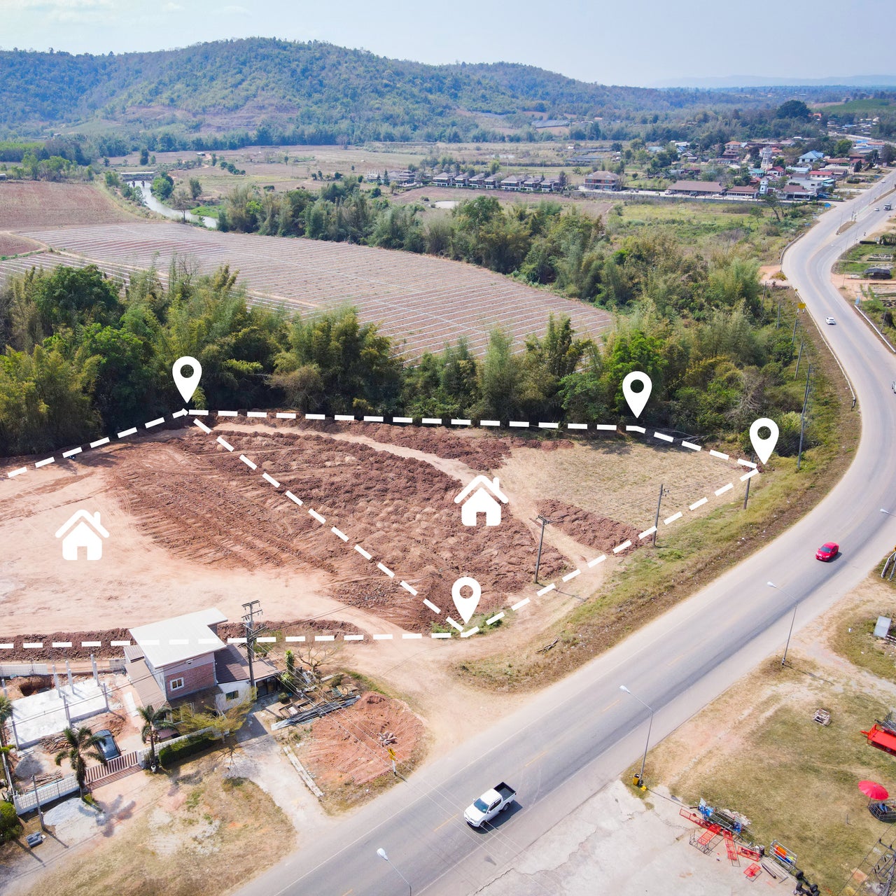
Streamline field operations
Improve field operations with parcel-level property intelligence that helps teams identify access points, plan efficient routes, reduce travel time, and minimize failed service attempts.
Anticipate market demand
Use forward-looking growth signals, permit data, and market intelligence to anticipate demand, pre-position inventory, and scale teams ahead of emerging needs.
Eliminate operational waste
Visualize your operational footprint to identify overlapping service territories, redundant asset placements, inefficient routes, and other opportunities that improve operational efficiency.
Foundations for operational efficiency
Bridge the gap between high-level strategy and on-the-ground execution with the exact spatial context your organization needs to deploy assets, capital, and personnel with maximum impact.

Dynamic context over static data

Standard street addresses often miss the physical context behind business operations, such as lot size, zoning, and access points. Cotality brings that real-world context into enterprise systems by connecting operational data with precise parcel geometry and detailed property attributes. The result is a richer view of where to serve, where to invest, and how to execute more efficiently.
FAQ
How does spatial data improve resource allocation compared to traditional BI tools?
Can we integrate Cotality data into our existing CRM or ERP software?
How can we use municipal permit data to proactively allocate resources?
How can we help you?
Let's get this conversation started! Our team is here to provide you with more information and answer any questions you may have.
Trying to reach us by phone?
Get in touch with our sales team at (866) 774-3282. We're here Monday to Friday from 7 a.m. to 5 p.m. CT.
Looking for support?
Visit our dedicated support page to find support for all our products.