


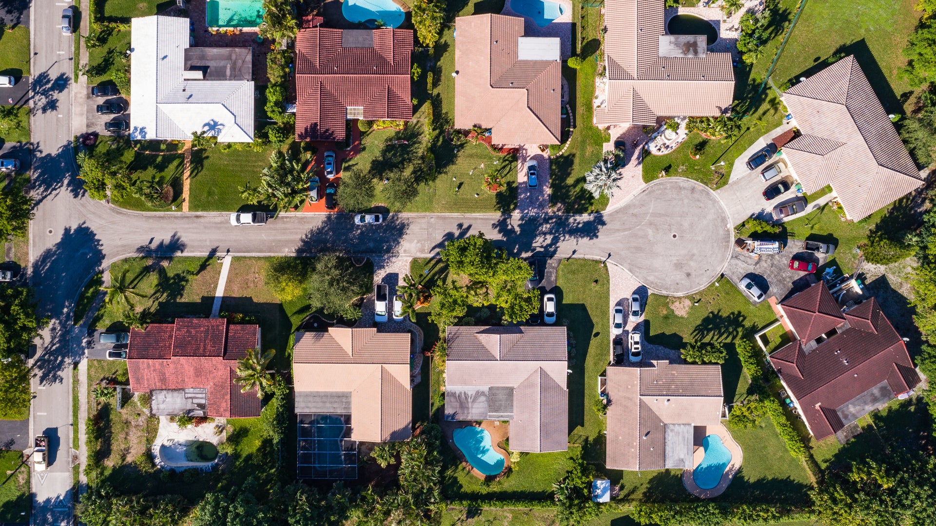
Two houses, one storm. A very different risk.
Two properties can sit side by side, face the same storm and produce very different losses. A territory rate or past claims alone can’t show that difference at quote. That gap shows up later, in the loss ratio.
See the risk in dollars, not just a score
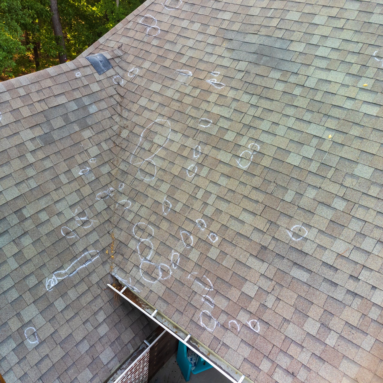
With Cotality Hail, underwriters can see what separates one property from the next before they quote it. A risk score guides triage, a modeled loss cost informs pricing, and a probability of claim shows how likely a hail claim is. Each report shows the building characteristics and the hazard data that drive the result, offering a single, consistent analysis for every risk.
From triage to price to justification
Triage with a relative score
Use the 1–100 Hail Impact Score to quickly compare and prioritize properties.
Price with a financial cost
Use the modeled loss cost to guide pricing decisions.
Justify with transparent drivers
See the specific hazard data and building characteristics behind every result.
Understand likelihood
Review the probability of a hail-related loss for another view into the risk.
From millions of simulated storms to a single roof

A credible loss cost needs a credible foundation. Cotality Hail is built on our U.S. Severe Convective Storm CAT model, which combines Cotality Weather Forensics with over 3.7 million simulated storm events to show what could happen. Connect that forward-looking view to the reality on the ground, using property-specific details from aerial imagery and permit records tell the full story of risk for a single address.
Related Resources


Speak with a data expert
Request a personalized demo or get details on how our solutions fit your specific needs.
Trying to reach us by phone?
Get in touch with our sales team at (866) 774-3282. We're here Monday to Friday from 7 a.m. to 5 p.m. CT.
Looking for support?
Visit our dedicated support page to find support for all our products.