


Parcel Terrain
Parcel-level terrain intelligence
Parcel insights for flood and crop risk
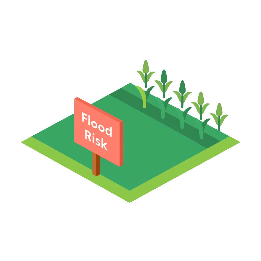
Parcel Terrain is a solution that instantly enriches every parcel with crucial agricultural and environmental insights. It aggregates field-level agricultural data from trusted sources like the USDA's Cropland Data Layer (CDL) and official FEMA flood risk data, eliminating the need for complex geospatial processing. This enables large-scale risk assessment, market analysis, and site selection that would otherwise require a dedicated team of geospatial experts.
By standardizing and visualizing this critical information at scale, Parcel Terrain streamlines your workflow, allowing for the precise, efficient, and consistent evaluation of properties.
Parcel Terrain can also complement other Cotality Flood & Hazard solutions by adding parcel-level agricultural land cover and FEMA flood hazard context to broader property risk analysis.
Key product attributes
- Parcel Terrain is a structured dataset containing approximately 40 fields
- Coverage is for the United States including DC
- Location and geospatial attributes: FIPS, Spatial Parcel Point ID, CLIP®
- Analytics attributes: crop types, crop percentages, FEMA flood zones, flood type, flood subtype, and flood percentages
- Parcel Terrain is geospatially driven by Spatial Parcel Point ID
- Geometries of the parcel are not included but are available with Cotality SpatialRecord
- AI-ready data (delivered with semantic companion files)
Pricing varies based on volume, geography, and delivery.
FAQ
What is Parcel Terrain?
What data sources does Parcel Terrain use?
What attributes are included?
Does Parcel Terrain include parcel geometries?
Where can organizations access Parcel Terrain?
How can we help you?
Let's get this conversation started! Our team is here to provide you with more information and answer any questions you may have.
Trying to reach us by phone?
Get in touch with our sales team at (866) 774-3282. We're here Monday to Friday from 7 a.m. to 5 p.m. CT.
Looking for support?
Visit our dedicated support page to find support for all our products.