


Parcel Link
Connect parcels to see the bigger picture
See land ownership patterns clearly
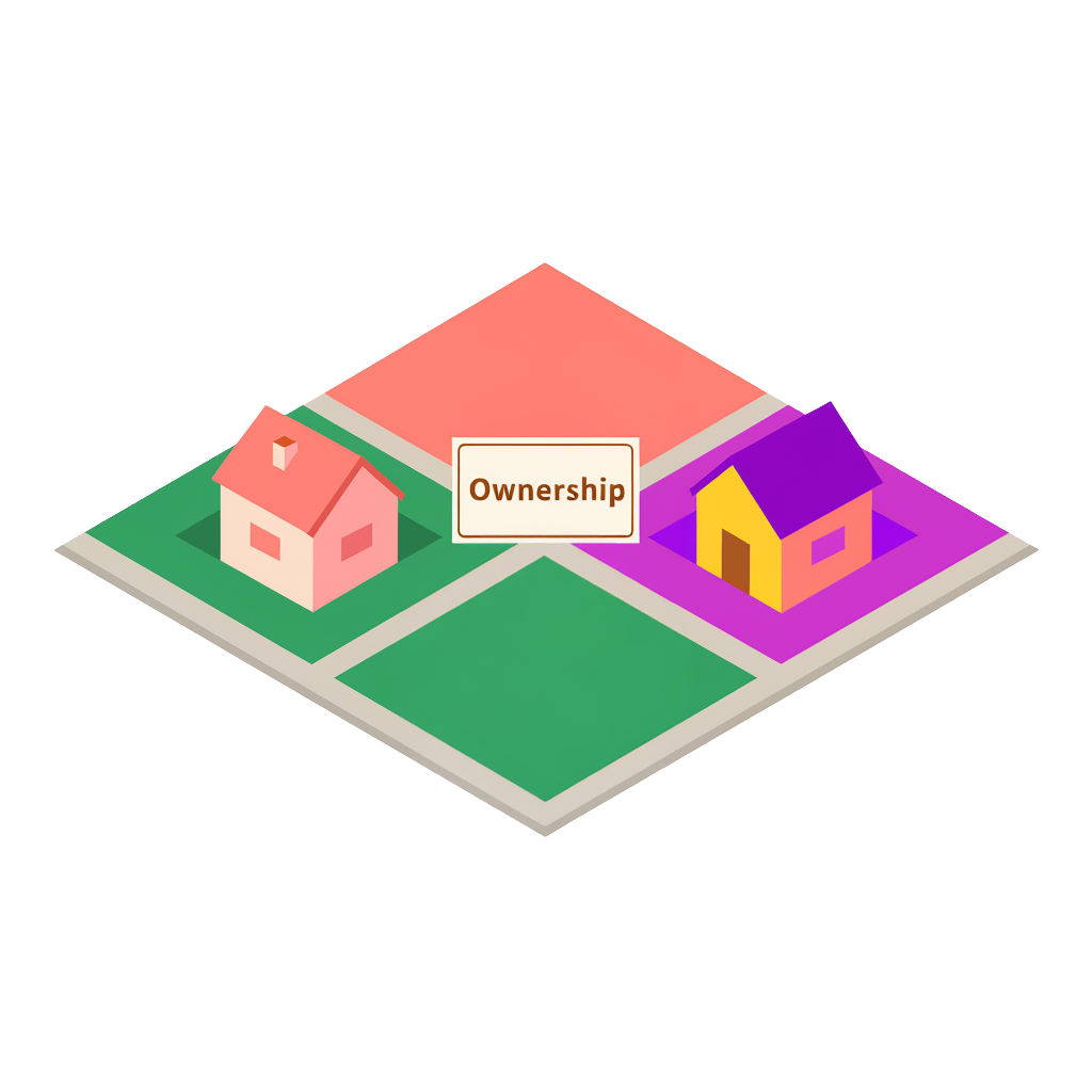
Parcel Link is a solution that transforms how organizations identify and analyze land ownership patterns at scale. It enables users to detect clusters of three or more adjacent parcels owned by the same entity within a 75-meter (250 feet) radius, forming larger, contiguous land holdings that are often hidden in raw parcel data.
Parcel Link distills over 157M million raw polygon geometries down to just 4.3 million owner-based records, delivering a 97% reduction in data volume. This massive compression allows organizations to visualize, analyze, and act on contiguous land holdings that are typically obscured in fragmented raw data.
Key product attributes
- AI-driven aggregation: Automatically forms unified land clusters with a persistent Parcel Link ID, allowing for easy tracking of contiguous holdings over time
- Clean, unified boundaries and precision: Leverages machine learning to reconstruct parcel boundaries and assign a unique Parcel Link ID, eliminating inconsistencies and spatial noise
- Deep parcel attribution: Access detailed metrics including parcel count, address count, total area, and ownership—all supported by a companion reference table for integration with other datasets including CLIP®
- Actionable analytics and indicators: Includes advanced indicators to help prioritize leads
- Use area ratio: Measures the density and "compactness" of a cluster
- Cross-boundary indicator: Identifies when ownership spans physical barriers like roads or county lines
- Seamless integration: Delivered via bulk files or cloud data partner ecosystems; compatible with CLIP for deep data enrichment
- Monthly refresh: Updated every 30 days to maintain the highest level of market accuracy
- AI-ready data (delivered with semantic companion files)
Pricing varies based on volume, geography, and delivery.
FAQ
What is Parcel Link?
How does Parcel Link group parcels together?
What makes Parcel Link data easier to use?
What information is included with Parcel Link?
Where can organizations access Parcel Link?
How can we help you?
Let's get this conversation started! Our team is here to provide you with more information and answer any questions you may have.
Trying to reach us by phone?
Get in touch with our sales team at (866) 774-3282. We're here Monday to Friday from 7 a.m. to 5 p.m. CT.
Looking for support?
Visit our dedicated support page to find support for all our products.