


Transform flood underwriting with high-fidelity data
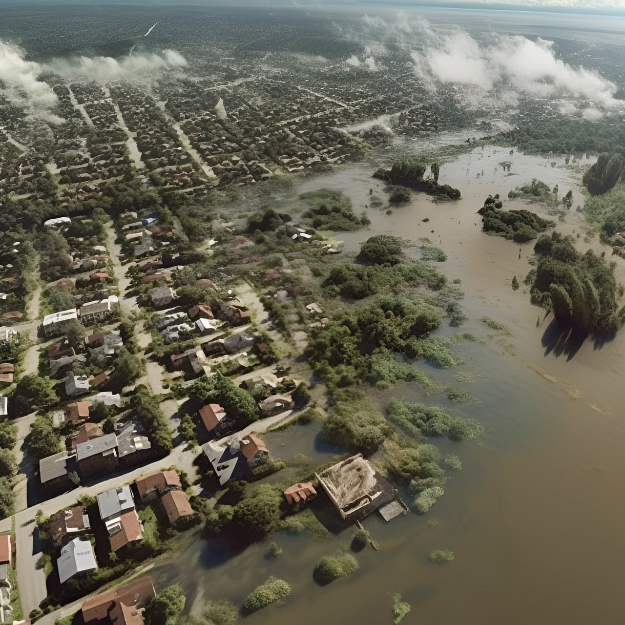
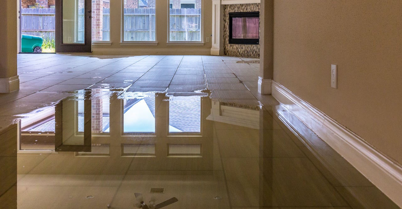
Flood underwriting requires more than FEMA flood maps alone. Property-level flood risk scores help uncover hidden exposure, support more accurate pricing, and identify resilient properties

Unified, multi-peril flood intelligence
Cotality Flood solves price adequacy challenges by translating complex hazard models into a single, transparent, AAL-based risk score. Delivering structure-level assessments across riverine, pluvial, and coastal surge perils, it enables insurers to quantify expected financial loss per building for rapid, precise underwriting.
Scalable data infrastructure powered by Cotality
Explore the property intelligence and risk products that power Cotality's Flood Risk Suite. Access property-level flood risk scores directly through RiskMeter, or seamlessly integrate them into your existing underwriting workflows via API.
Coastal Distance
First Floor Height
Flash Flood Risk Score
Flood Risk Score
Coastal Storm Risk Score
Sewer Backup Risk Score
Eliminate basis risk with high-fidelity flood analytics
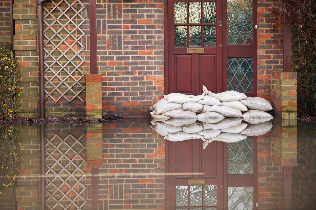
By combining high-fidelity Flood Risk Scores with advanced property-level intelligence, carriers can evaluate flood risk at the individual property level, reducing reliance on broad territorial assumptions and supporting precise underwriting decisions.
How can we help you?
Let's get this conversation started! Our team is here to provide you with more information and answer any questions you may have.
Trying to reach us by phone?
Get in touch with our sales team at (866) 774-3282. We're here Monday to Friday from 7 a.m. to 5 p.m. CT.
Looking for support?
Visit our dedicated support page to find support for all our products.