


Overview
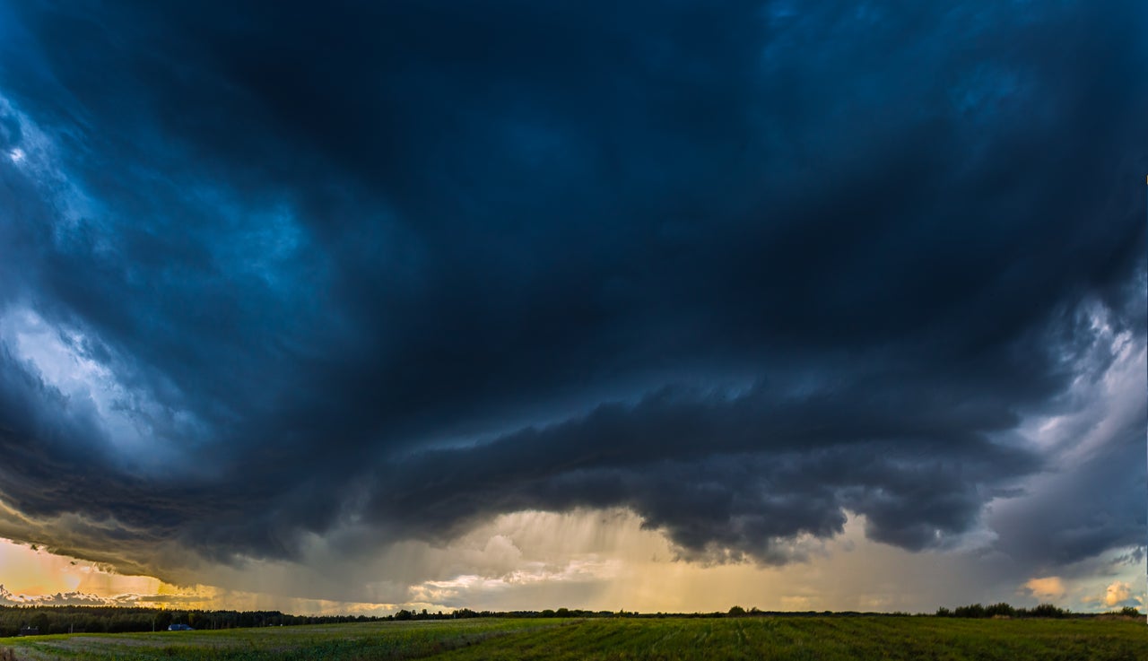
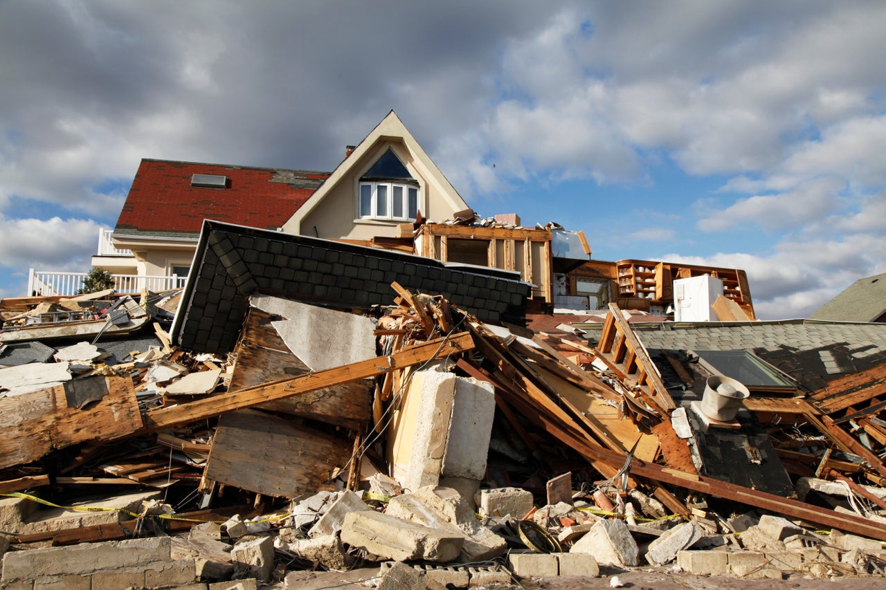
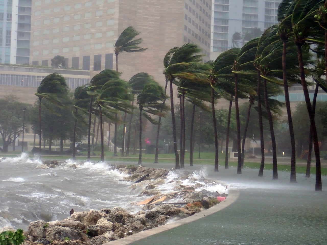
An outbreak of severe weather over the U.S. brought large hail and deadly tornadoes across the Great Plains as well as the Mississippi, Ohio, and Tennessee River Valleys. Hail also impacted other parts of the nation.
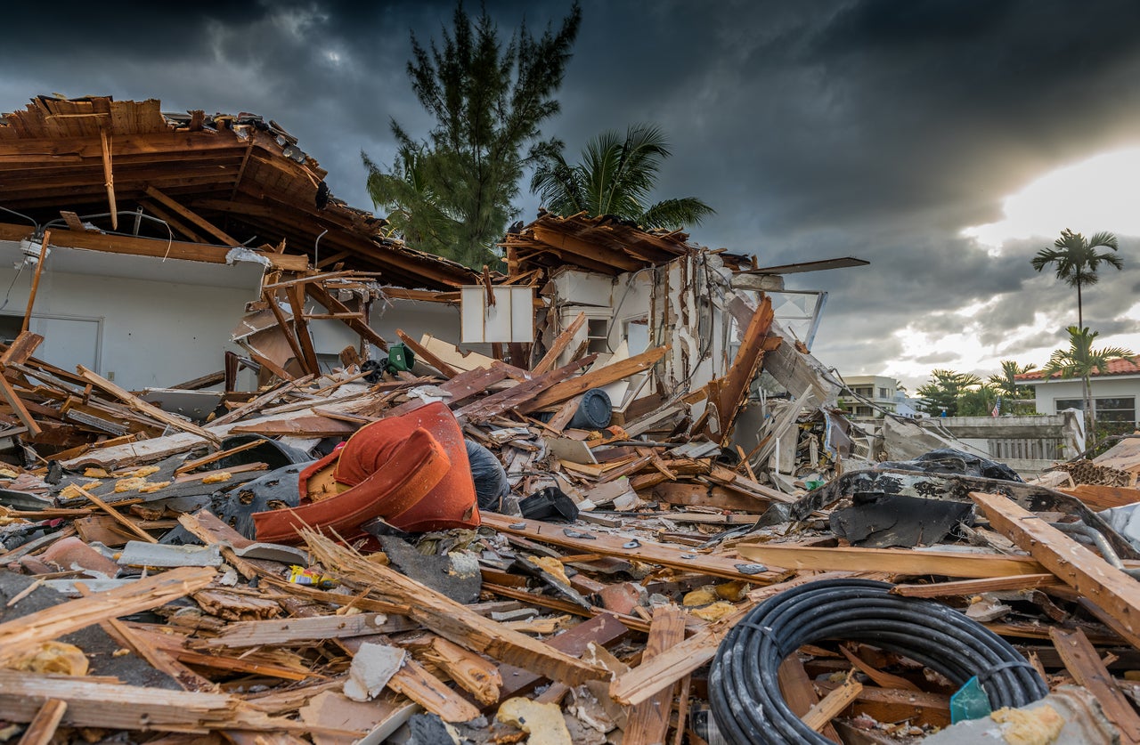
- Cotality estimates that approximately 63,000 properties with a combined reconstruction cost value (RCV) of nearly $16 billion were potentially damaged by tornadoes across the country.
- Missouri was hit hardest by tornadoes, with the state having nearly 23,500 properties potentially within tornado paths between May 16 and May 18.
- Cotality estimates over 40,000 homes worth were within the hail swaths

Beginning Thursday, May 15, a powerful series of supercell thunderstorms swept across the Great Plains as well as the Mississippi, Ohio, and Tennessee River Valleys. These storms brought large hail and deadly tornadoes.
A severe weather outbreak began with storms in Minnesota, Wisconsin, and Michigan on May 15. The following day, destructive tornadoes tore through St. Louis, Missouri, as well as Somerset and London, Kentucky. On Sunday, May 18, multiple large tornadoes were reported across Kansas and Oklahoma, causing widespread damage. Tornadoes in the vicinity of the Denver International Airport halted air traffic several times.
Cotality estimates that approximately 63,000 properties with a reconstruction cost value (RCV) of nearly $16 billion were potentially damaged by tornadoes across the country. Table 1 below provides the number and total RCV of properties by state.
Properties and estimated RCV potentially damaged by tornadoes from May 16 to May 18
Data source: Cotality, 2025
Cotality identified Missouri as the state hit hardest by tornadoes, with 23,530 properties at risk.
Map of tornado damage probabilities on May 16 in St. Louis, Missouri
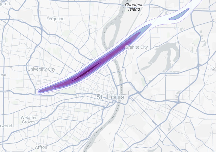
Data source: Cotality, 2025
Cotality estimates over 40,000 homes within hail swaths.
Cotality also estimated that hail greater than one inch in diameter affected over 40,000 properties across the nation between May 15 and May 18. Orange County, Florida; Howard County, Texas; and Anderson, Tennessee, were the counties with the highest number of properties impacted by hail.
Number of properties impacted by hail by date and size of hail
Data source: Cotality, 2025
Number of properties impacted by hail by state and size of hail
Data source: Cotality, 2025
Visualize hazard footprints and manage your portfolio with Cotality Insight
Cotality Weather Insight is an interactive, geospatial mapping solution that provides forecasting, as well as real-time and forensic weather data, to users on a single platform. Users can visualize storm warnings, watches, and alerts, as well as see impacts in the aftermath of activity. Such data includes tropical storm and hurricane wind speeds at the parcel level.
Tornado paths and hail swaths in Cotality Weather Insight combine the best aspects of point observations — providing a high degree of accuracy — and radar technology to generate wind speed maps with neighborhood-level detail (500-meter resolution). These digital tools offer 100% coverage of the continental U.S.
Cotality will continue to monitor the impacts of this severe weather outbreak.


.jpg)