


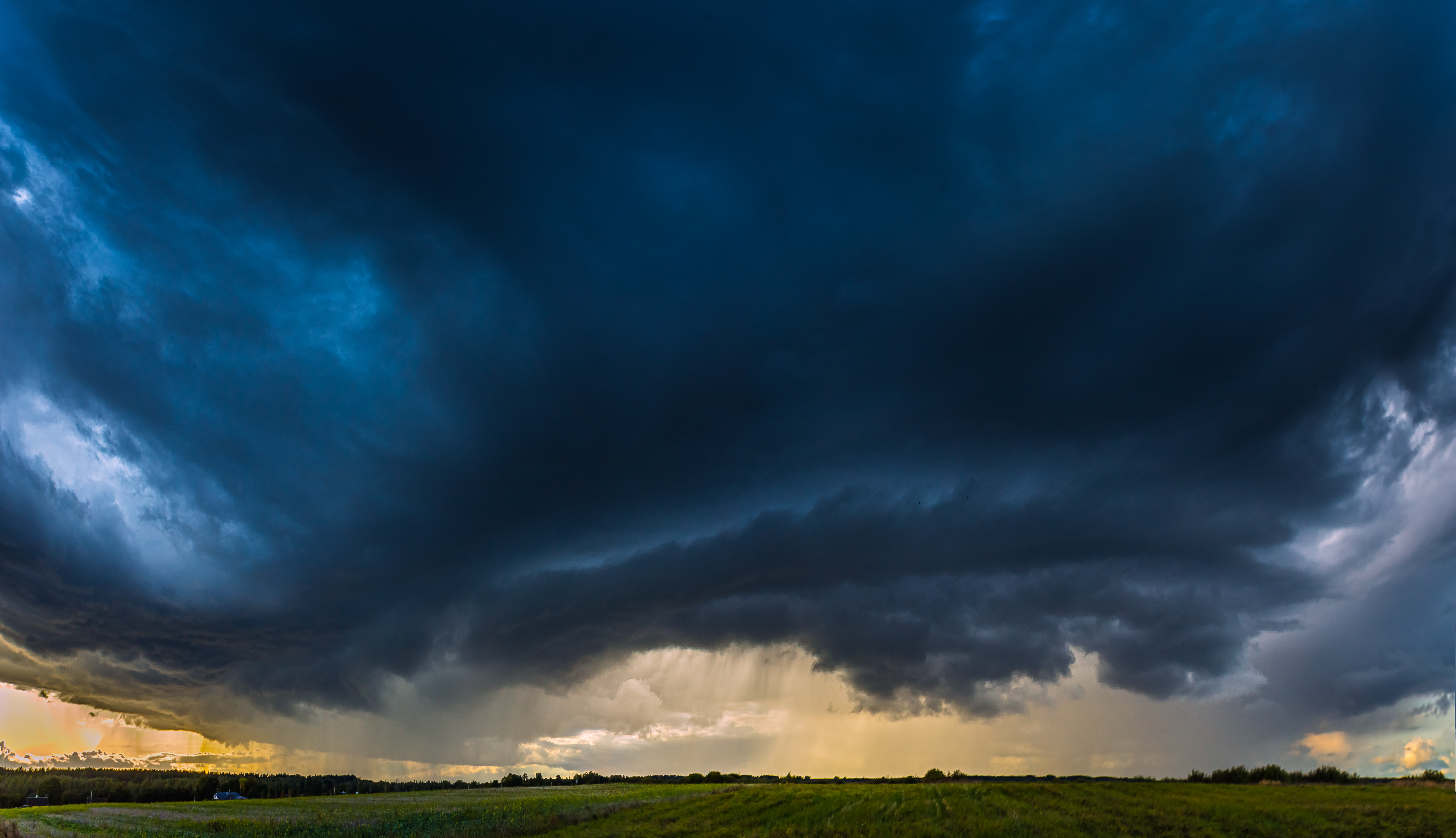
Overview

A severe weather event on March 6, 2026, brought tornadoes, hail, and damaging storm impacts to southern Michigan after a lone supercell formed in La Porte County, Indiana, and tracked northeast into Lower Michigan. The storm moved through Cass, St. Joseph, and Branch counties, with confirmed tornado damage in Edwardsburg, Three Rivers, and Union City.
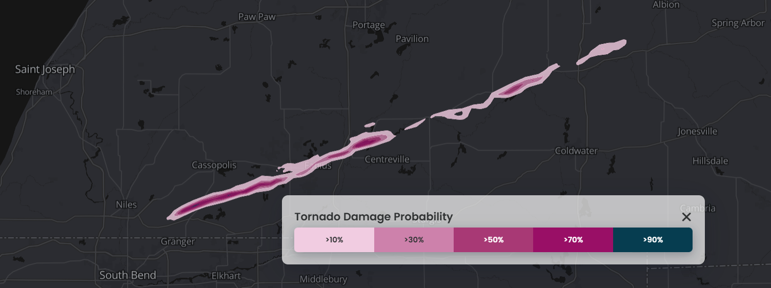
Figure: Map of tornado damage probabilities for March 6 to March 8 in Michigan. Source: Cotality Weather Insight (March 8, 2026)
The most destructive tornado from the outbreak was a preliminary EF3 tornado in the Union City area of Branch County, with estimated peak winds of at least 150 mph, resulting in severe damage to several homes near Tuttle Road and Prairie Rose Lane. The north side of Union Lake in Union City was among the hardest-hit areas, with numerous homes sustaining significant damage and trees sheared off. The storm caused other documented tornado damage in Three Rivers to the west of Union City.
The outbreak was notable in Michigan climatology. The Union City preliminary EF3 tornado was the earliest EF3-or-stronger tornado on record in the calendar year for Michigan. The previous earliest Michigan EF3 occurred on March 15, 2012.
The region also saw severe, destructive weather in May 2024. In that event, a brief EF1 tornado occurred southwest of Union City with estimated peak winds of 95 mph and a path length of 1.09 miles. The March 2026 outbreak was more severe, but both events underscore that southern Michigan can experience significant tornado impacts outside the traditional late-spring peak.
Visualize hazard footprints and manage your portfolio with Cotality Insight
Cotality Weather Insight is an interactive, geospatial mapping solution that provides forecasting, as well as real-time and forensic weather data, to users on a single platform. Users can visualize storm warnings, watches, and alerts, as well as see impacts in the aftermath of activity. Such data includes tropical storm and hurricane wind speeds at the parcel level.
Tornado paths and hail swaths in Cotality Weather Insight combine the best aspects of point observations — providing a high degree of accuracy — and radar technology to generate wind speed maps with neighborhood-level detail (500-meter resolution). These digital tools offer 100% coverage of the continental U.S.
Cotality will continue to monitor the impacts of this severe weather outbreak.
