


FloodMap
Visualise flood risk across NZ
Understand flood risk, visually and precisely
Cotality's flood risk solutions help you assess the likelihood and impact of flooding across New Zealand, at both a broader geographic scale and an individual property level.
With detailed flood data mapped to different scenarios and return periods, and easy-to-use risk scores for every address, these tools provide critical insights for planning, policy, and risk mitigation.
Whether you're managing exposure, guiding homeowners, or informing infrastructure investment, our flood data helps you make faster, smarter decisions with confidence.
Nationwide flood risk insights
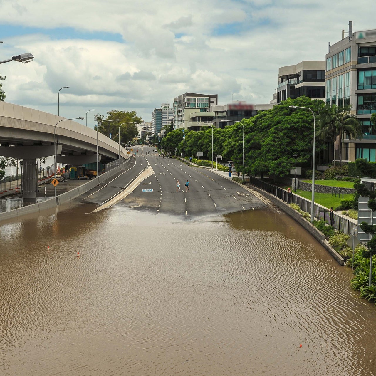
Understand flood exposure across New Zealand with coverage that spans urban and rural areas, including multiple flood sources.
Support smarter planning
Use flood data to inform mitigation strategies, infrastructure development and resource allocation.
Educate and inform customers
Help homeowners and property buyers understand flood risk, supporting safer decision-making and greater preparedness.
Guide policy and lending strategy
Assess concentration risk and exposure to help shape lending, insurance and government response strategies.
Flood risk tools for spatial and property insight
Cotality offers two flood risk solutions that work together - visualising potential flood impact on the map and providing a flood risk score at the property level.
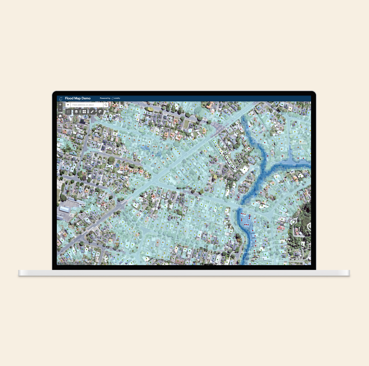
Flood map visualisation
View modelled flood extents by type (river, rainfall, coastal) and return period, giving you a spatial understanding of where flood risk exists and how severe it may be.
Property-level flood scoring
Get a simple, easy-to-understand flood risk score for every address, using the same underlying flood data to support quick assessments and comparisons.
Calculated on position of main dwelling
Cotality addresses are generally positioned on the main dwelling of a property, providing a more accurate assessment of risk.
Flexible access and overlays
Access flood data via API or web platform, and overlay it with your own datasets for richer, contextual insights that support tailored analysis.
How can we help you?
Let's get this conversation started! Our team is here to provide you with more information and answer any questions you may have.
Trying to reach us by phone?
Get in touch with our sales team at 0800 355 355.
Looking for support?
Visit our dedicated support page to find support for all our products.