


eMap
Map-based research and insights Tool
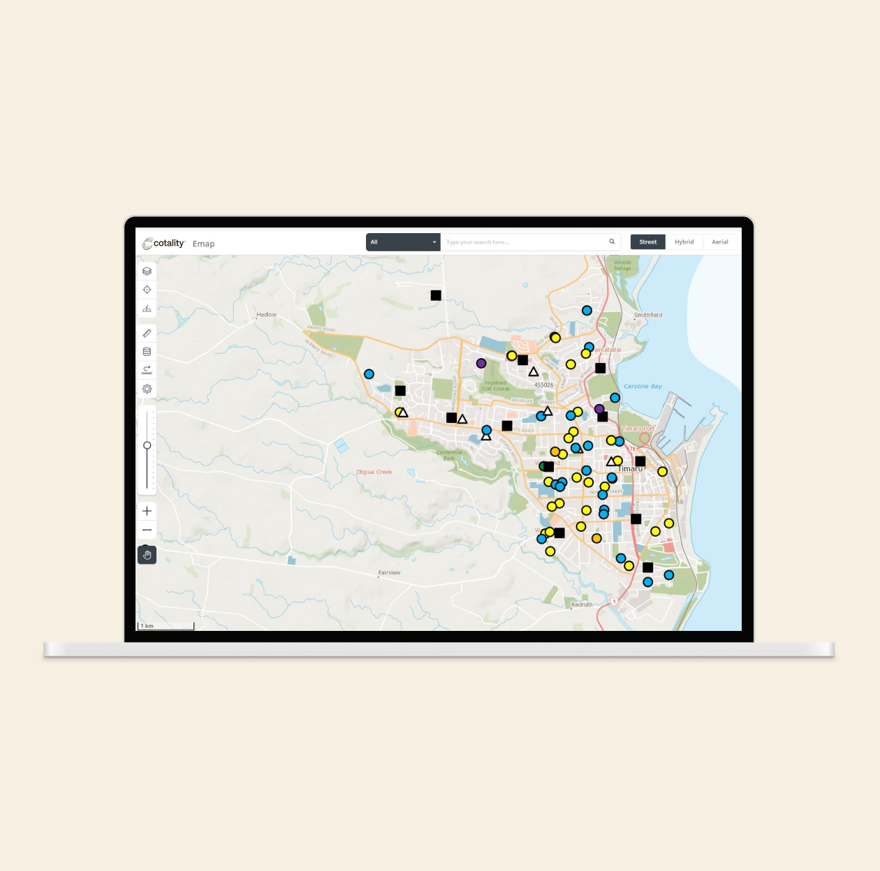
See the full picture with eMap
eMap is Cotality's interactive mapping platform, designed to help property professionals explore, assess and understand properties in spatial context.
Whether you're investigating ownership boundaries, reviewing aerial imagery, or evaluating large and complex sites like farms, eMap simplifies research by combining rich property data with intuitive mapping tools.
And with eMap Advanced, you can go further - overlaying your own business data to track trends, plan resources and visualise growth.
It's everything you need to see the bigger picture and make smarter property decisions.

Visualise what matters
Instantly see title information, zoning, last sale and more with interactive map-based insights at parcel level.
Understand physical context
Use high-quality orthorectified aerial imagery to estimate distances, locate physical features and plan without a site visit.
Efficient property assessment
Quickly access boundaries, ownership details and easements, and apply your own expertise using draw and measure tools.
Visualise your own data
eMap Advanced lets you integrate and overlay your own data, helping you monitor trends, allocate resources and spot gaps.
Map-based tools to explore property
eMap combines aerial imagery, contours, geographic boundaries and interactive tools to help you assess, compare and plan with greater confidence.
High-resolution aerial imagery
View orthorectified imagery that supports accurate distance measurement and contours to understand physical site conditions.
Property and planning insights
Access ownership data, title information, land use, easements and parcel boundaries - everything you need for informed research.
Drawing and measurement tools
Annotate maps, draw custom shapes, and measure areas or distances directly - ideal for planning, installation and review.
eMap Advanced functionality
Overlay your own business data to collaborate amongst teams, track growth, and highlight areas for action - enabling deeper spatial analysis.
Related Insights (0)
How can we help you?
Let's get this conversation started! Our team is here to provide you with more information and answer any questions you may have.
Trying to reach us by phone?
Get in touch with our sales team at 0800 355 355.
Looking for support?
Visit our dedicated support page to find support for all our products.