Overview

Cotality estimates insured losses from Hurricane Lowell at $0.5 billion to $1.0 billion, with most of the damage expected on Kauai.
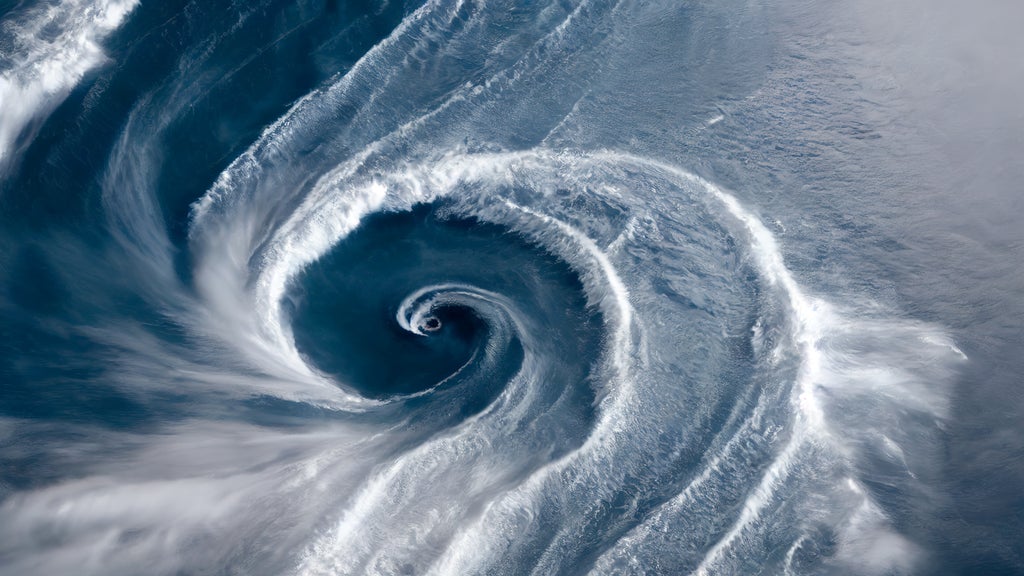
Hurricane Lowell passed just west of Niihau overnight as a Category 2 hurricane, bringing hurricane-force gusts, flooding rain, and destructive surf to Kauai County in the closest approach by a Category 2 or stronger hurricane to Kauai since Iniki in 1992. A Hurricane Warning remains in effect for Kauai and Niihau and a Tropical Storm Warning for Oahu as heavy rain continues across the state.
According to the Central Pacific Hurricane Center, Lowell's center was located about 90 miles west of Lihue and 190 miles west-northwest of Honolulu at 11 p.m. HST on Sept. 7, with maximum sustained winds of 110 mph and a minimum central pressure of 963 mb. The hurricane was moving north-northeast at 18 mph, and hurricane-force winds extended up to 70 miles from the center, placing Niihau and western Kauai inside the hurricane-force wind field. Barking Sands on western Kauai reported a gust to 84 mph and Lihue Airport a gust to 79 mph.
From Category 5 to a glancing blow
Lowell peaked as a Category 5 hurricane with 160 mph winds on Sept. 2 while still more than 400 miles south of Hilo. Vertical wind shear from an upper-level trough steadily eroded the storm's core as it turned north toward the islands, and by early Sept. 8 the hurricane center had lowered its intensity to 90 mph, a Category 1. Forecasters expect Lowell to weaken to a tropical storm by this evening and to turn northwest and west, away from the islands, over the next two days.
The rain is not finished. The hurricane center forecasts an additional 4 to 8 inches on Kauai with storm totals as high as 24 inches, 3 to 8 inches on the Big Island with isolated totals near 12 inches, and 2 to 5 inches across Oahu and Maui County with isolated totals near 10 inches. Significant flash flooding and mudslides remain possible through Wednesday, especially on Kauai and portions of the Big Island. Storm surge of 2 to 4 feet was forecast along the south coast of Kauai and on Niihau, topped by surf that the National Weather Service in Honolulu expected to reach 20 to 30 feet. The weather service also issued a tornado watch for Kauai and Niihau, reported to be the first ever issued in Hawaii, and Kauai County advised residents to shelter in place as roads closed and most of the island lost power.
What this means for insurers
Because the strongest winds passed west of the island, the loss picture is driven less by structural wind damage than by roof and envelope damage from gusts accelerated over Kauai's terrain, rainfall-driven flooding in the island's steep valleys, and wave and surge damage along the south and west shores.
Hawaii's insurance market still carries the imprint of Iniki, which struck Kauai as a Category 4 hurricane and remains the costliest hurricane in the state's history. Hurricane wind coverage is typically a separate policy or endorsement from standard homeowners insurance, and flood losses fall to National Flood Insurance Program or private flood policies, so a multi-peril event like Lowell will test coverage boundaries across wind, flood, and business interruption.
Lowell is the second tropical cyclone to threaten Hawaii in three weeks, following Tropical Storm Lala's impact on the Big Island in mid-August, and the fifth hurricane or tropical storm to menace the state in three months.
Cotality will continue monitoring this event and may provide updates when available.