Overview

For decades, wildfire risk models followed a simple logic: the closer a property sits to dense vegetation and steep terrain, the higher its risk score. Move deeper into a paved, developed neighborhood, and the score drops. For fires that stay in the wildland, the framework works. The problem for carriers is that modern wildfires no longer respect that boundary, and books priced on the old logic carry exposure their models never surfaced.
What is the wildfire assessment gap?
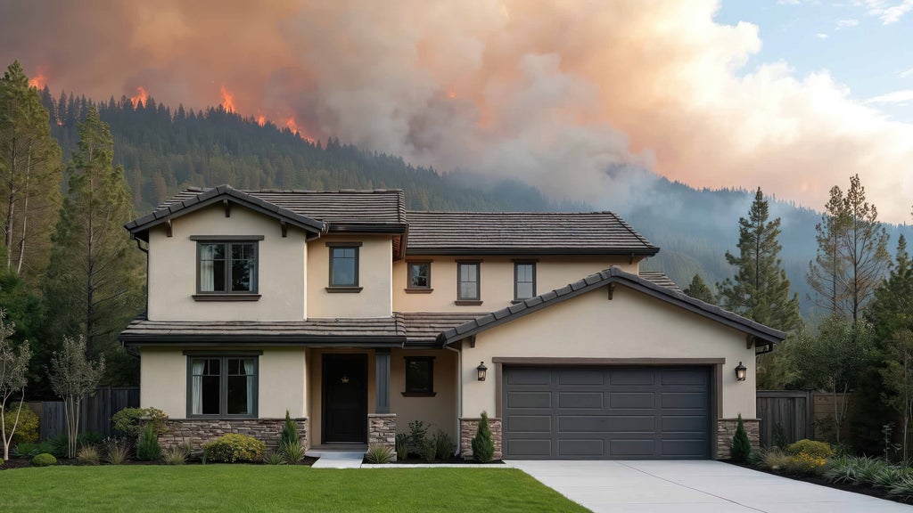
The assessment gap is the blind spot created when risk models treat wildfire purely as a wildland peril. Vegetation-focused models capture the hazard of forests, grasslands, and slopes, but they underestimate what happens when wind-driven embers cross into the built environment. At that moment, the fire changes character. Homes, fences, decks, and outbuildings become the dominant fuel source, and a wildland fire becomes an urban conflagration that moves structure to structure.
Fire science has repeatedly shown that embers, not walls of flame, ignite most structures during major fire events. Embers travel well ahead of a fire front on strong winds, landing in gutters, vents, and landscaping far from the wildland edge. Once a single structure ignites, radiant heat and fresh embers put every neighboring home at risk. For underwriting, the implication is direct: a policy priced on distance to natural fuels is priced on the wrong fuel source.
Why do low-risk neighborhoods carry hidden exposure?
Under legacy models, a home in a dense suburb miles from the wildland-urban interface often earns a reassuringly low risk score. That score reflects distance to natural fuels, but it says nothing about the flammability of the surrounding neighborhood: the age and materials of nearby construction, the density and spacing of structures, prevailing wind patterns, or the pathways embers can follow into the community.
Cotality modeling quantifies the size of this blind spot. Layering conflagration potential onto a traditional wildfire risk score can add as many as 40 points to a property’s score, pushing meaningful hazard deep into neighborhoods that legacy maps labeled as low risk.
For a portfolio, that mis-assessment becomes concentration risk. Underestimated neighborhoods accumulate underpriced policies and underinsured homes, and when a conflagration event occurs, losses cluster exactly where the book assumed it was safest. Even a fully hardened home remains exposed when surrounded by flammable construction, so no single underwriting decision can be separated from its neighborhood context. A risk that is never seen can never be assessed, priced, mitigated, or disclosed.
How can carriers close the assessment gap?
Closing the gap requires models that evaluate the built environment with the same rigor traditionally applied to terrain and vegetation. High-definition wildfire analytics account for:
• Structure density and spacing within a neighborhood
• Building characteristics that influence ignition, such as roofing and siding materials
• Wind patterns that govern how far embers travel
• Ember influence and structure-to-structure fire spread potential
Carriers that integrate these structure-to-structure externalities upfront gain advantages across the operation. Underwriters can price neighborhood-driven catastrophe risk instead of forest fire risk alone. Portfolio managers can see accumulations that vegetation-based maps miss and allocate capital more efficiently. Valuation teams can confirm that properties are adequately insured against conflagration at inception rather than discovering shortfalls at settlement. Lenders gain confidence that the collateral behind their mortgage portfolios carries coverage matched to true exposure. And policyholders, including the well-prepared ones who hardened their homes, receive an honest picture of the risk created by the structures around them.
Accurate assessment is the foundation for every defense that follows. Mitigation credits, adequate coverage limits, and stable insurance availability all depend on first seeing the risk clearly, including the risk that begins where the forest ends.
To explore how conflagration modeling, mitigation analytics, and property-level intelligence work together, read the full 2026 Cotality Wildfire Risk Report.