Overview

A powerful earthquake struck Japan's Kyushu island on the afternoon of Tuesday, July 28, 2026, shaking the city of Kumamoto and surrounding communities with some of the strongest ground motion the region has experienced in a decade. The U.S. Geological Survey recorded the event at a moment magnitude of 6.8, centered south of Kumamoto near the city of Uto, while the Japan Meteorological Agency reported a preliminary magnitude of 7.1. The earthquake occurred at 4:27 p.m. local time on a shallow crustal strike-slip fault at a depth of roughly 10 km, a combination that concentrated severe shaking directly beneath one of Kyushu's most populated areas and caused localized but significant damage to regional building stocks, commercial installations, and municipal infrastructure.
The Japan Meteorological Agency issued a tsunami advisory for the nearby Ariake and Yatsushiro seas shortly after the earthquake, and the advisory was later lifted without reports of damaging waves.
Severe shaking over a major urban area
According to the USGS PAGER impact model, an estimated 730,000 people were exposed to severe shaking of intensity VIII on the Modified Mercalli scale, including residents of Kumamoto city, Uto, Uki, and Mashiki, and another 504,000 people experienced very strong intensity VII shaking. PAGER issued a red alert for economic losses, its highest tier.
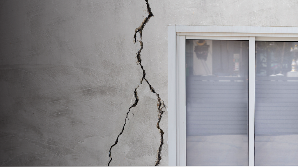
Lifeline impacts were immediate. Initial reports indicate approximately 20,000 homes lost power and nearly 80,000 homes experienced water service disruptions, while train service and airport operations in the region were suspended for infrastructure inspections. Commercial and industrial impacts were concentrated, with structural damage reported at key regional facilities, including the Nippon Paper Mill. A gas leak triggered by the earthquake resulted in a secondary explosion at the Aeon Mall in the Kashima area roughly an hour after the mainshock, compounding the partial collapse there. Damage to the historic Kumamoto Castle, a collapsed bridge, ruptured roads, and damaged homes and businesses were reported across the prefecture.
A rupture on the Futagawa-Hinagu fault zone
While Japan's most extreme seismic hazards are typically associated with subduction zone plate boundaries such as the Nankai Trough, this event occurred within a shallow intraplate crustal fault in the upper Eurasia plate, several hundred kilometers northwest of the Ryukyu Trench. Geological indicators and regional fault mapping strongly suggest the rupture occurred along the Futagawa-Hinagu Fault Zone, a highly active system that was most recently activated during the devastating April 2016 Kumamoto sequence, in which M6.2 and M6.0 foreshocks were followed 28 hours later by an M7.0 mainshock near Mashiki. That sequence damaged nearly 200,000 buildings and stands as one of the costliest earthquake events in Japan's history, and it is a reminder that large Kyushu earthquakes can be followed by significant aftershocks.
What this means for insurers
Based on the actual physical footprint of the event as described by the USGS ShakeMap, Cotality estimates total industry gross insured losses to range between $1.5 billion and $2.5 billion (approximately JPY 220 billion to JPY 380 billion).
This loss is significantly lower than the catastrophic 2016 Kumamoto earthquake sequence, which incurred roughly $7.7 billion in gross insured losses adjusted to 2026 dollars. Earthquake insurance penetration in Japan has risen steadily since 2016, meaning a larger share of residential damage may be insured today than during the previous Kumamoto event.
Cotality will continue to monitor the event and may provide updates as more data becomes available.